traffic simulation with SUMO.
sunday, november 19th, 2023.
I was watching a video by donoteat01 about how freeways destroy communities, where he used the game Cities: Skylines to illustrate his point. And it got me thinkin'— being able to simulate actual traffic patterns is an awesome tool to use when discussing urban planning.
So I poked around the Cities: Skylines stuff to see how well it modeled bicycle and pedestrian transportation. Long story short, I could go down that route with the right DLC and mods but I'd still be playing a game not particularly well suited to importing and exporting data.
Fortunately, there's a number of tools put together by those wacky Europeans who actually care about modeling transportation infrastructure outside the automobile. One such tool is Simulation of Urban MObility (SUMO), which was initially developed by the German Aerospace Center.
One really neat thing about SUMO is that I was able to import my city map from OpenStreetMap in less than 30 minutes of following along with their tutorials.
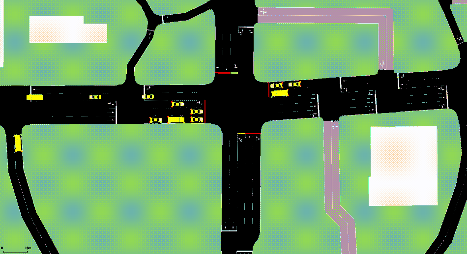
Voilà! I present one of the major intersections of my city in one-second looping GIF form:
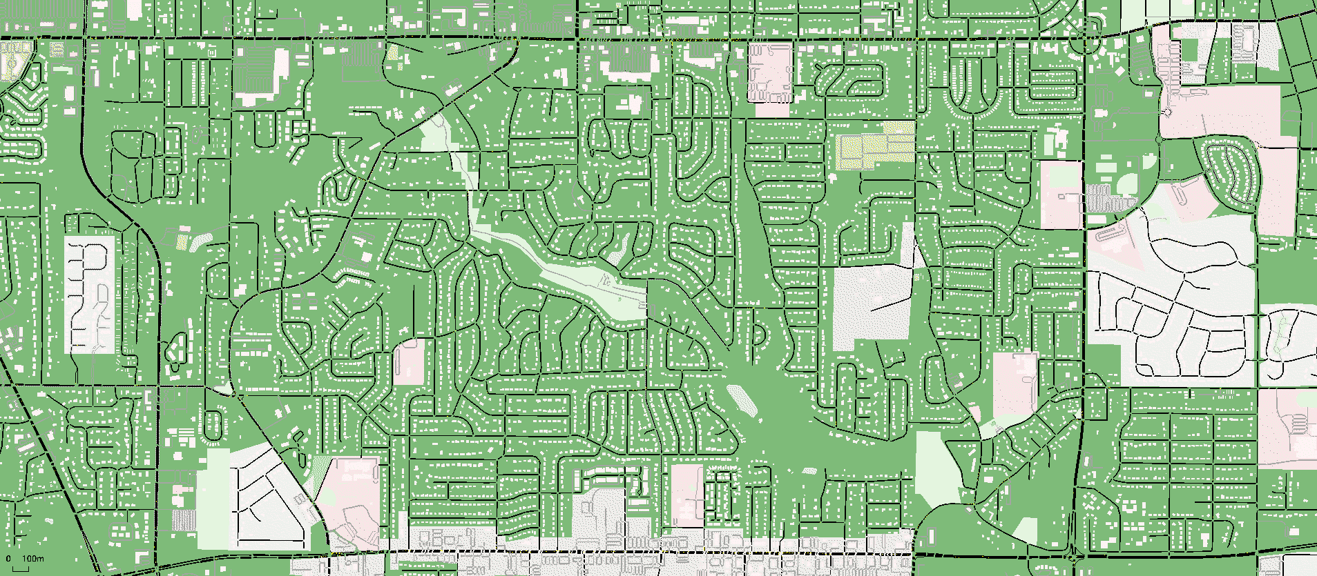
SUMO appears to be able to handle larger imported maps, too! Here's a zoomed out non-animated map of my city, with the intersection from above in the top right corner of the map:
That's pretty friggin' cool for 30 minutes of effort! I'm excited to use SUMO as a narrative tool during presentations, videos, and maybe a little bit of modeling collaboration with city planners once we've established a rapport with them. I could easily imagine making this simulation more accurate with actual usage data, plus having some drone or GoPro footage to show the perspective of a pedestrian or bicyclist for a little extra razzle dazzle.
That's all for now! Until next time, be well. :)